School Street Multimodal Transportation Corridor Study
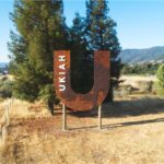
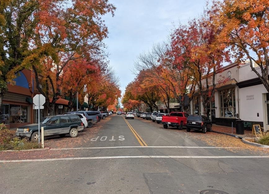
This multimodal transportation corridor study has identified, analyzed, and proposed enhancements to the vehicular, pedestrian, and bicycle network along the School Street corridor in downtown Ukiah from Clay Street to Henry Street. The plan aims to preserve the character of School Street for future generations by supporting walkability, economic prosperity, and tree coverage, as well as addressing maintenance issues along the corridor.
This planning effort has resulted in a final study that will be used to pursue funding to implement identified improvements along the School Street corridor. This work was funded by a Sustainable Transportation Planning Grant from Caltrans. As a downtown street adjacent to State Street that hosts outdoor events such as the farmers market and is an area that has high foot-traffic, the School Street Multimodal Corridor Plan will be crucial in further advancing safe, sustainable transportation options to access local destinations, jobs, shops, and community resources.
The School Street Multimodal Transportation Corridor Study is a visioning plan for the future of School Street. The study itself does not indicate immediate construction but rather prepares the City to apply for future grant funding to do further design and construction. Once grant funding is acquired, further study and community input will be required to refine the recommended design for School Street.
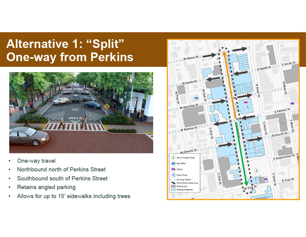
Following more than a year of analysis and community input, the preferred (and accepted) alternative prioritizes the following community priorities: retain the Chinese Pistache tree canopy, retain as much parking as possible (preferably diagonal, as currently exists), widen sidewalks, and maintain School Street’s charm.
The preferred concept is a one-way “split) from Perkins Street, transforming School Street into a one-way street, northbound north of Perkins Street and southbound south of Perkins Street. Perkins Street is a primary access to School Street for many drivers, and allowing the choice to turn right or left at this point helps to maintain vehicle circulation. This alternative has an 18-foot travel lane, 16-foot diagonal parking on both sides, room for five-foot to seven-foot tree wells, and 8-foot to 10-foot sidewalk. Alternative 1 could be implemented with back-in parking, pull-in parking, or both. By removing a travel lane, Alternative 1 allows for expanded tree planters along the entire corridor, as well as wider sidewalks. To resolve the current root issues and provide a sustainable long-term plan for sidewalk and building health and safety, health of the Chinese Pistache trees, and future infrastructure maintenance, tree replacement is recommended along with underground utility replacement/realignment.
School Street Multimodal Transportation Corridor Study
Powered By EmbedPress
Next Steps
Future implementation of this concept will require grant funding. If a grant is awarded, the project will involve additional community engagement, additional reviews by the City Council, and an extended planning and design phase.
Additional Information
- Workshop 1 – February 13, 2025 (Presentation | Video)
- Workshop 2 – June 24, 2025 (Presentation | Video)
- Workshop 3 – December 11, 2025 (Presentation)
- City Council Meeting – April 15, 2026 (Presentation)
- Social Pinpoint Map Discussion
- School Street Multimodal Transportation Corridor Study (Companion Site)