The Lookout Peak Trails Project proposes the development of a passive use public access trail system for hiking, mountain biking, and access to nature. GIS mapping of the trail system has been completed and is represented below. The concept trail alignments were created by Jon Schubbe Consulting, informed by onsite evaluations and scoping followed by computer assisted layout design. The trail system will include one trailhead accessed from a public street at Doolan Canyon Ave.
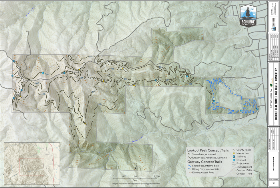
Concept Trail Plan
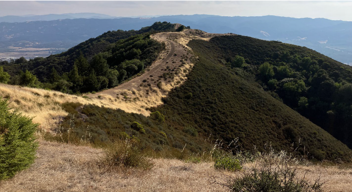
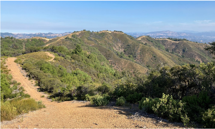
The trail system provides a “Stacked Loop” design allowing users a wide variety of options with up to 18 miles of trails. The system lays out approximately three miles of trail in the “Gateway” area and an additional fourteen miles of trails in the Lookout Peak area. The Gateway area will provide two small loops that are expected to see the most use. A single out and back trail will connect the Gateway area (lower loops) to the upper loops of the Lookout Peak area. There will also be three loops with a mountain bike downhill-only trail bisecting two of the upper loops. The top loop will circumnavigate the upper extent of the property and provide 360-degree views of three different watersheds. Additionally, the Lookout Peak area trails will provide multiple interfaces with existing truck roads providing additional options for users who care to experience the roads.
Redwood Avenue Ridge Road
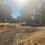
The trails will be built in accordance with the Ukiah Valley Trail Group Design and Maintenance Standards (See Attachment A of the Draft ISMND below). Trail grades will vary according to topography with average grades of 7 to 8 percent, for the majority of the trails, with some shorter trail sections in the steeper areas reaching approximately 12 percent. Trail stairs may be used in particularly steep sections. However, trail routes will ensure that the average grade for the entirety of the trail does not exceed a 10 percent threshold. The proposed trail will run almost entirely beneath a substantial tree canopy cover of natural woodlands consisting mainly of native tree and understory species (See photos in Attachment A of the Draft ISMND). The trail will be 2 to 4 feet wide, back sloped to create an angle of repose and built using a variety of best-practice methods including out sloping and rolling dips to allow sheet water drainage. Seasonal and class III drainages and swales will be hardened or spanned with small footbridges with footings outside of the bed and bank of the drainage.
For more information on the Project, please contact:
Jake Burgess, Director
City of Ukiah Community Services Department
(707) 463-6201
jburgess@cityofukiah.com
All comments regarding the ISMND may be directed to:
Katherine Schaefers, Planning Manager
(707) 463-6203
kschaefers@cityofukiah.com